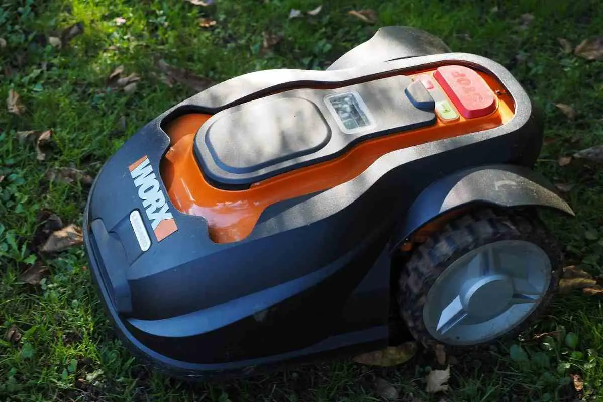
Mapping for robotic mowers represents the next stage of technological advance for these garden tools.
If, yet again, you’re frustrated hunting for a break in your mowers boundary wire, you will be interested to learn more about this new technology that enables robot lawnmowers to cut grass without relying on a perimeter wire.
In This Short Article – We will explain what mapping for robotic mowers is, how it works and its great benefits for homeowners including the potential to create stripes on your lawn.
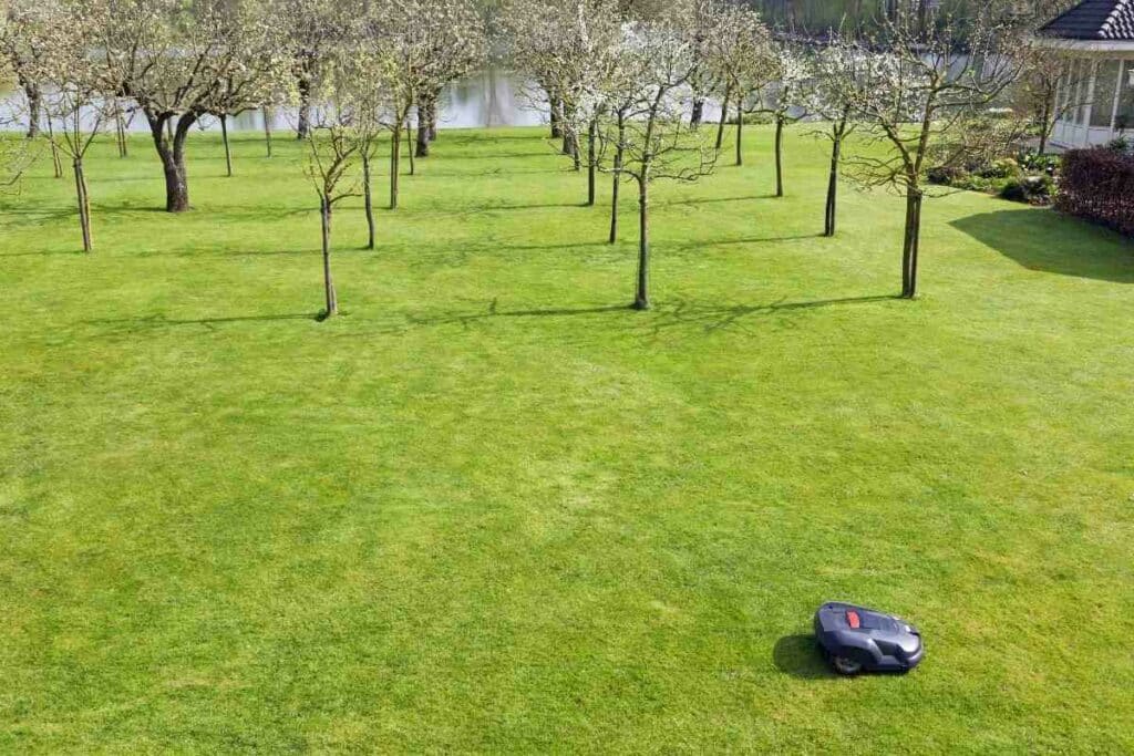
Mapping is simply a method of outlining the area to be mowed by a robot
Rather than relying on the strict boundary of a perimeter wire, mowers can use novel mapping technology to learn the layout of the lawn and plot the most efficient and ordered course for completing the mowing.
This is revolutionary because manufacturers have preferred the perimeter wire as it ensures accuracy.
Experimental mapping technologies, including GPS guided automated mowing, have previously been found to have errors that lead to under or over mowing of the lawn.
Perimeter wire provides a clear boundary for robot mowers
Perimeter wire that has been laid around the edge of the lawn emits a signal that the robotic mower uses to orient itself.
This established method produces an electromagnetic ‘map’ or outline of the lawn and within this clear boundary, the robotic mower moves and cuts grass in an irregular ‘zig-zag’ pattern.
This is one reason why robotic mowers cannot cut stripes into the lawn
The mowing is never in straight lines.

Under algorithmic control, the robotic mower mows in random directions, using the wire as a boundary and eventually trimming the entire lawn.
Relying on the boundary means that the mower may miss edges and narrow passages if the perimeter wire is poorly installed.
Satellite-guided robotic mowing using GPS is just not accurate enough
It would make sense if the GPS technology you use to drive to the right destination in your car could guide a robot mower.
The idea has been considered, but the low accuracy of GPS greatly hampers it when using a relatively small area like a lawn.
GPS relies on a satellite broadcast that requires good exposure to the open sky.
The ionosphere and terrestrial obstructions easily weaken the signal making it unreliable for the mower’s navigation.
The biggest problem is the level of accuracy of a basic GPS signal is within a range of 2 to 10 meters.
Keep In Mind: This means that the bot could completely miss your lawn and end up mowing your flower bed or wind up in your pond.
Novel mapping methods are being developed for wire-free navigation
Most wire-free mapping strategies for robotic mowers are aimed at enhancing the accuracy of GPS or using signalling beacons to help the mower orient itself to the shape of the lawn rather than using a continuous boundary marker.
RTK GPS
One such method is Real-Time Kinematic GPS (RTK GPS), a form of assisted GPS which is widely used in agriculture and surveying.
For mowers to map a lawn accurately using GPS, RKT GPS relies on a reference beacon or base station which has a known accurate location.
This reference point can orient the mower so it can mow wire-free to an accuracy level of 1 to 2 centimetres.
Here is a video from Belrobotics explaining how this technology works.
Boundary Beacons
This method of mapping an area to be mowed by a robotic mower involves mapping the area to be mowers using multiple location beacons that act as reference points.
These points can be used to orientate the mower to a map image of the lawn that is stored in the robotic mower, along with precise geographic coordinates for the reference points.
Smart Mapping
Smart mapping is probably one of the most advanced technologies for mapping a lawn and can reproduce the methodical up and down method of mowing that a human would do.
iRobot, a robotics company based in Massachusetts has developed a mowing bot called Terra, that is capable of learning its environment and mapping the lawn autonomously.
This bot is unique as it remembers where it is in the yard, using wireless beacons to orient itself.
Take a look at the Terra bot in action.
Rounding Up
Mapping the lawn is one of the most important aspects of the function of a robotic mower.
Novel technologies that dispense with the perimeter wire should enjoy widespread adoption once their accuracy is assured.
In the meantime, the perimeter way offers a reliable solution for robot mower mapping and navigation.